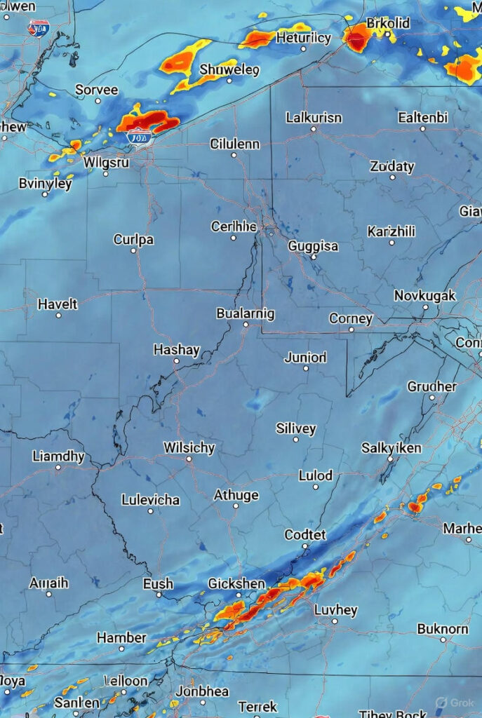
A major early-December winter system is moving across six U.S. states, prompting winter storm warnings six states today as forecasters predict snow totals of up to a foot in some areas. The National Weather Service (NWS) says this storm is no ordinary dusting—residents from Alaska to South Carolina are facing potentially disruptive weather that could upend travel and daily routines.
States Under Winter Storm Warnings Six States Today
As of Sunday, NWS has issued warnings and advisories for Alaska, Wyoming, Michigan, Illinois, South Carolina, and Virginia. Most snow is expected between Sunday, December 7, and Monday, December 8, with the heaviest accumulations concentrated in Alaska and the Mountain West. The system combines cold air surges and moisture streams, creating highly variable conditions across regions.
Expected Snowfall by State
- Alaska: 8–12 inches, with winds over 40 mph impacting the Icy Strait Corridor.
- Wyoming: Up to 10 inches in the Teton and Gros Ventre Mountains.
- Michigan: Up to 6 inches from lake-effect snow, creating rapidly changing visibility.
- South Carolina: Up to 5 inches in higher-elevation areas.
- Virginia: Up to 5 inches along Appalachian foothills.
- Illinois: Trace amounts, mainly light flurries in the Chicago area.
Alaska Faces Severe Conditions
Alaska is absorbing the brunt of the storm, with Elfin Cove and Pelican expecting 8–12 inches of snow. Strong gusts over 40 mph may create whiteout conditions, particularly in the Icy Strait Corridor. NWS describes the system as a “pattern change” with Arctic air colliding with moisture-laden air, leading to rapid and heavy snowfall.
Mountain Snow in Wyoming
Wyoming’s Teton and Gros Ventre Mountains are preparing for up to 10 inches of fresh snow. Early-season storms like this often leave icy underlayers beneath fresh powder, making road travel hazardous, particularly around Jackson Hole and surrounding communities.
Michigan Lake-Effect Snow
Central and western parts of Chippewa County are forecast to see around six inches of snow from lake-effect bands off Lake Superior. These bands can produce highly localized snowfall, with conditions changing dramatically within a few miles. Drivers should remain alert to sudden whiteout conditions.
Unexpected Snow in the Southeast
Parts of South Carolina and Virginia will experience up to five inches of snow, primarily in elevated regions. While not record-breaking, these totals can disrupt traffic and create slick conditions due to freeze-thaw cycles.
Travel and Community Impacts
- Road conditions may deteriorate rapidly, especially in mountainous and lake-effect regions.
- Flight delays are possible at Juneau, Anchorage, Jackson Hole, and select Midwest airports.
- Power outages could occur in areas experiencing heavy snow and strong winds, particularly Alaska.
- Schools and local agencies may announce delays Monday morning due to icy roads.
Emergency management officials recommend tracking updates through local NWS offices via weather.gov and ready.gov for real-time guidance.
FAQs on Winter Storm Warnings Six States Today
- How long will snow persist? Most areas should see snowfall taper by Monday morning, though Michigan may experience lingering lake-effect bands.
- Which airports may face delays? Juneau, Anchorage, Jackson Hole, and certain Midwest airports could see disruptions due to visibility.
- Will temperatures drop significantly? Alaska and Wyoming will experience colder post-storm temperatures, while the Southeast may see melting and refreezing cycles.
- Does Illinois need major snow preparation? Chicago is only expected to see trace amounts, so minimal preparation is required.
- Will South Carolina’s snow stick? Higher elevations will retain snow, but lower regions may see slushy accumulation that refreezes overnight.
Residents in all affected areas should prepare for rapidly changing weather conditions as this early winter storm moves through, ensuring travel safety and readiness for potential disruptions.
